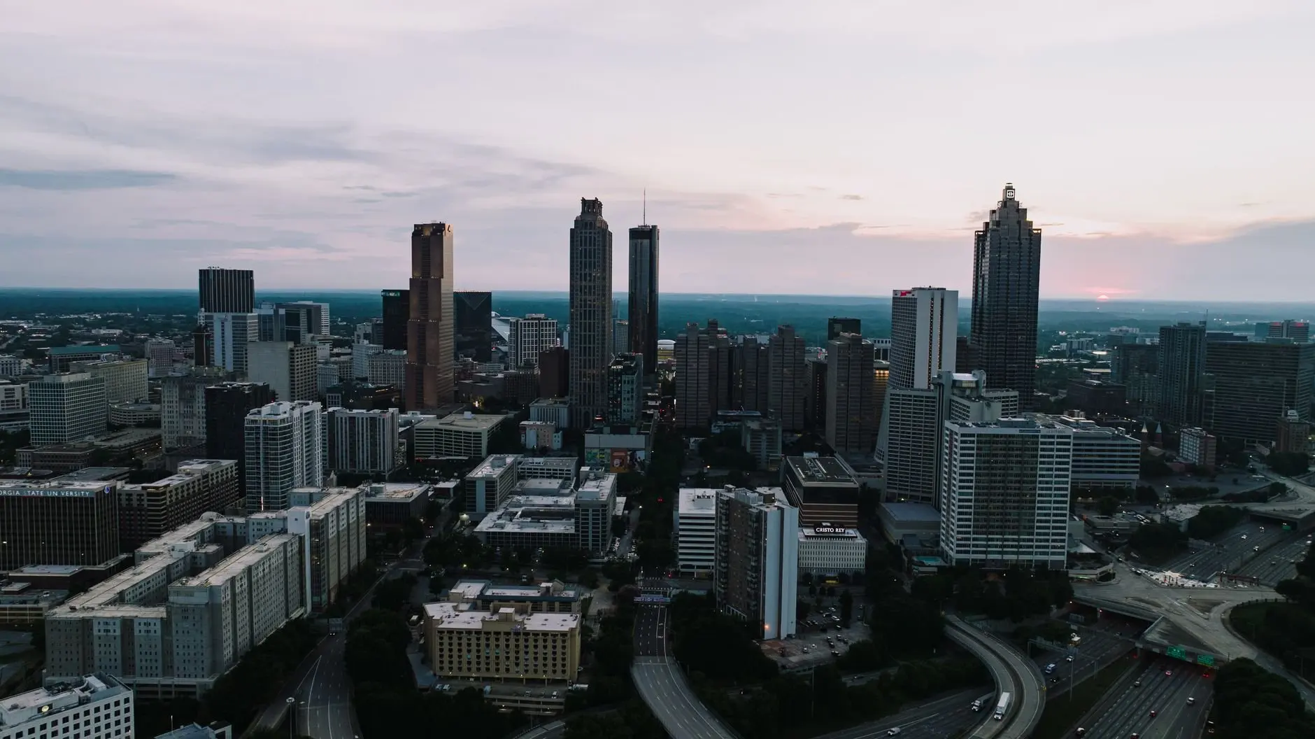
Planning to walk or ride the Atlanta BeltLine? It’s a planned 22-mile loop on old rail corridors, only partly finished, and the Eastside Trail is where most visitors start.
This page is part of the atlanta guide and focuses on one trail system.
| Item | Value |
|---|---|
| Main loop length when complete | 22 miles |
| Full trail network when complete | 33 miles |
| Neighborhoods linked | More than 40 |
| Main loop already complete | Over 9 miles |
| First trail section opened | 2008 |
| Eastside Trail length | 3.7 miles |
These figures come from TrailLink and Wikipedia. Segments open and totals change, so check the source before you rely on them.
What the Atlanta BeltLine is
The BeltLine is a ring of trails, parks and planned transit built along former railway corridors around central Atlanta. Wikipedia describes it as a 22-mile multi-use trail that encircles the core of the city and is in varying stages of development.
The rails came first. According to TrailLink, four separate rail lines formed the loop, built after the Civil War so freight trains could bypass congested downtown depots.
The trail idea came later. Planner and architect Ryan Gravel proposed it in 1999 in his master’s thesis, Atlanta BeltLine, Inc. was incorporated in 2006, and the first trail section opened in 2008, as TrailLink tells it.
As of 2026, Wikipedia says the BeltLine is recognized as the world’s longest linear arboretum. It also notes that since the 2016 More MARTA sales tax passed, MARTA oversees construction of the planned streetcar in partnership with Atlanta BeltLine, Inc.
Which BeltLine trails are open?
Per TrailLink, over 9 miles of the main loop and over 10 miles of connector trails are complete. Some unimproved segments are also open for use when they are not under construction.
TrailLink lists the segments like this:
- West End Trail: the first section, opened in 2008, now 2.3 miles.
- Northside Trail: a 1.2-mile segment that opened in 2010.
- Eastside Trail: expanded in 2017 and now 3.7 miles.
- Westside Trail: 3.4 miles open, some of which overlap with the West End Trail.
- Northeast Trail: 2 miles opened in 2021.
- Southside Trail: 4.1 miles opened in 2021.
- Southwest Connector Trail (spur): a 1.1-mile segment that opened in 2013.
- Westside Beltline Connector (spur): 3.29 miles linking downtown Atlanta and the west side.
The northern arc is the hardest to finish. The Wikipedia entry explains that one of the four rail lines is still actively used by railroad traffic, so the Northwest and Northside Trails will follow a new route.
Where should you start?
The Eastside Trail is the best-known stretch. Atlanta.com calls it the section most visitors encounter first, because it links several of the city’s densest, most walkable neighborhoods.
Key areas along the Eastside Trail include:
- Midtown, near Piedmont Park
- Ponce City Market
- Historic Fourth Ward Park
- Inman Park and Edgewood
- Krog Street Market and the Krog Street Tunnel
- Reynoldstown and Memorial Drive, to the south
Other common starting points are West End MARTA Station for Westside and Southside access, and Tanyard Creek Park for the Northside Trail. TrailLink adds that the Eastside Trail connects with the Stone Mountain Trail, and Piedmont Park links the Eastside and Northeast Trails.

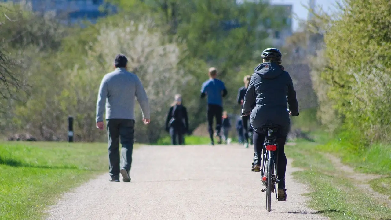
Expect company. TrailLink reviewers describe a trail used by cyclists, joggers, skaters, walkers and people on electric rental scooters, and one warns that crowds are likely and patience helps. TrailLink also lists concrete and dirt surfaces, with biking, inline skating, walking and wheelchair access as activities.
Getting there by MARTA or car
TrailLink lists several MARTA stations close to the trail:
- Bankhead (Green line)
- Ashby (Blue and Green lines)
- West End (Red and Gold lines)
- Inman Park/Reynoldstown (Blue line)
- King Memorial (Blue line)
If you plan to arrive by train, the how to ride marta guide covers the basics. TrailLink asks anyone bringing a bike aboard to observe the transit agency’s rules.
Driving works too, since the trail runs through several parks. TrailLink names Piedmont Park, at 400 Park Drive NE, as parking for the Eastside Trail.
A tip from Atlanta.com: park once, walk or bike several segments, then use MARTA to return to your starting point instead of backtracking.
How to read a BeltLine map
Atlanta.com points out that the BeltLine isn’t a single straight trail but a ring of trails, parks, transit corridors and future connections. That is why a good map matters.
Most maps use color-coding to separate three states:
- Open or completed trail
- Under construction
- Planned or future segment
On a typical map, the Eastside Trail shows as a solid, brightly colored line. Planned sections of the northern arc usually appear as dashed or lighter lines.
To plan a route, follow these steps:
- Find your nearest cross street or MARTA station.
- Check where the trail is continuous and where gaps force you onto neighborhood streets or detours.
- Look for transit and parking near the access points you want.
Atlanta.com singles out the Southside as a place where a current map is especially useful, since the status of individual segments changes as construction progresses.
What changed in 2026
A TrailLink reviewer reported that, effective April 16, 2026, the Southside segment between Glenwood Avenue and Boulevard is open, though some neighborhood ramps were not yet finished. The same reviewer expected the stretch between Boulevard and the 75/85 underpass to finish within a couple of months, so treat that as an April 2026 expectation and check the latest status. The review appears on TrailLink.
The Wikipedia entry adds two transit items. MARTA’s first bus rapid transit line began service on April 18, 2026, running 5 miles from downtown Atlanta through Summerhill to the BeltLine.
In June 2026, the BeltLine also launched ATL Spoke, a 12-month pilot of an autonomous shuttle. It is meant to connect West End station, the Southwest Trail and the Lee and White streets district.
This is an independent guide, not affiliated with Atlanta BeltLine, Inc. TrailLink advises checking with the organization for the latest construction updates, and the things to do in atlanta page has ideas for stops beyond the trail.
Frequently asked questions
How long is the Atlanta BeltLine?
Show answer
The main loop is planned at 22 miles, and TrailLink says the full network will reach 33 miles when complete. Over 9 miles of the main loop are finished per TrailLink.
Can you bike the BeltLine?
Show answer
Yes. TrailLink lists biking, inline skating, walking and wheelchair access as activities on the trail, which has concrete and dirt surfaces.
Is the BeltLine a complete loop yet?
Show answer
No. Wikipedia describes the project as in varying stages of development, and maps show planned sections as dashed or lighter lines.
Where does the name BeltLine come from?
Show answer
Wikipedia explains that a belt of railway was proposed to bypass the busy downtown railway system and alleviate rail congestion. Four separate rail lines later formed that belt.